Otherreal estateUrban Planning
New York City approves unified digital map to streamline development.
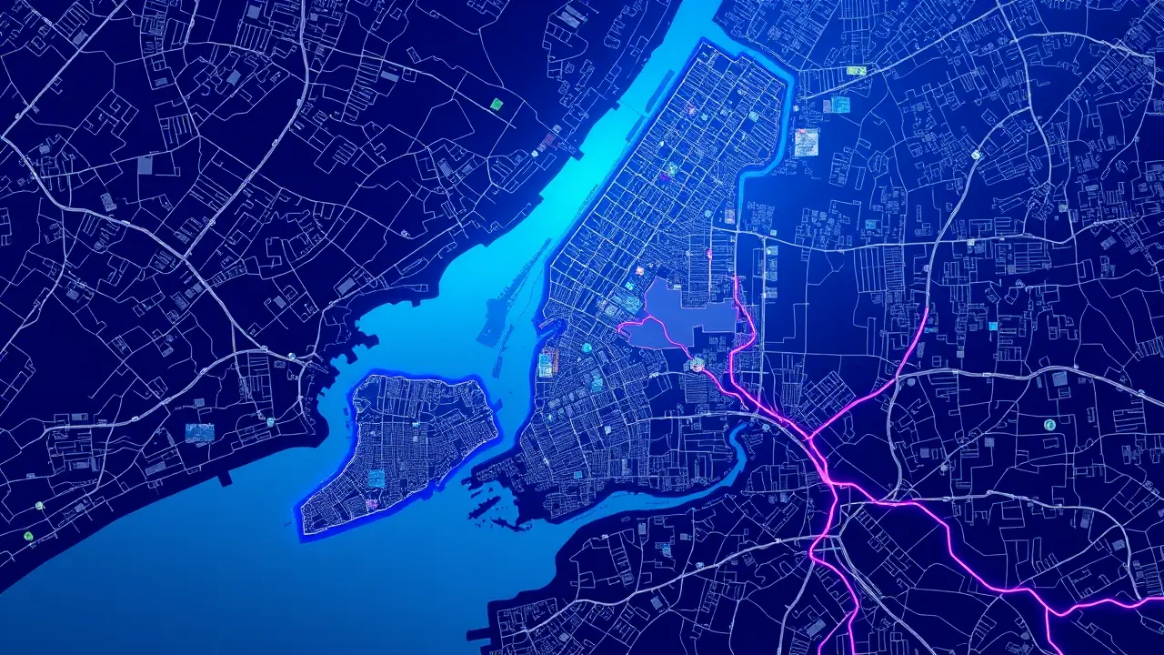
In a move of profound bureaucratic and historical significance, New York City has voted to consolidate its official, legally binding city map into a single, unified digital entity, a decision that promises to untangle a cartographic legacy stretching back to the city's 1898 consolidation. For over a century, the administrative reality of New York has been at odds with its political unification; while the five boroughs—Manhattan, Brooklyn, Queens, the Bronx, and Staten Island—were merged into one governmental body, their official maps remained stubbornly fragmented across five separate borough president offices, a collection of some 8,000 topographical paper documents.This archaic system, a relic of pre-digital governance and lingering borough-level authority, has long been a silent antagonist to progress, adding months, sometimes years, of delays to critical infrastructure and housing projects. Developers and city planners seeking to verify or amend fundamental details like property lines, street widths, or waterfront borders have been forced to navigate a physical labyrinth of paper charts, queuing at borough offices in a process as outdated as the parchment it relies upon.The passage of Proposal 5, championed by the Charter Revision Commission, is thus not merely an administrative update but a foundational reform, akin to the standardization of weights and measures or the creation of a central land registry—it is an effort to bring the city's legal geography into the 21st century. The implications are vast, directly confronting the city's acute housing crisis by streamlining the approval pipeline for new construction, a hurdle that advocates have long argued unnecessarily exacerbates supply shortages and inflates costs.Furthermore, this digital unification will empower the city to more accurately manage its 520 miles of rapidly evolving coastline, where the static lines on century-old paper maps no longer reflect the dynamic realities shaped by climate change and rising sea levels. A particularly intriguing challenge will be the resolution of 'paper streets'—thoroughfares that exist only on these official documents, ghost lines on a map that can stymie development on non-existent roadways.The task ahead is Herculean, requiring the meticulous digitization, reconciliation, and centralization of thousands of fragile historical documents, a process that will demand significant dedication from city staff and is expected to unfold over the next several years. Yet, the potential payoff is a more resilient, efficient, and transparent city government.As with any major historical consolidation of power or information, from the formation of the federal government to the creation of national archives, this move represents a recalibration of authority from disparate local fiefdoms to a centralized, accessible system. It is a recognition that in an era defined by data, the maps that govern our physical world must be as integrated and dynamic as the city they represent, finally synthesizing the five boroughs not just in name, but in the very charts that define its streets and shape its future.
#featured
#New York City
#digital map
#urban planning
#housing crisis
#infrastructure
#paper streets
#waterfront