AIcomputer visionObject Detection
AI Platform Analyzes Satellite Data for Environmental Monitoring
RA
Rachel Adams
15 hours ago7 min read5 comments
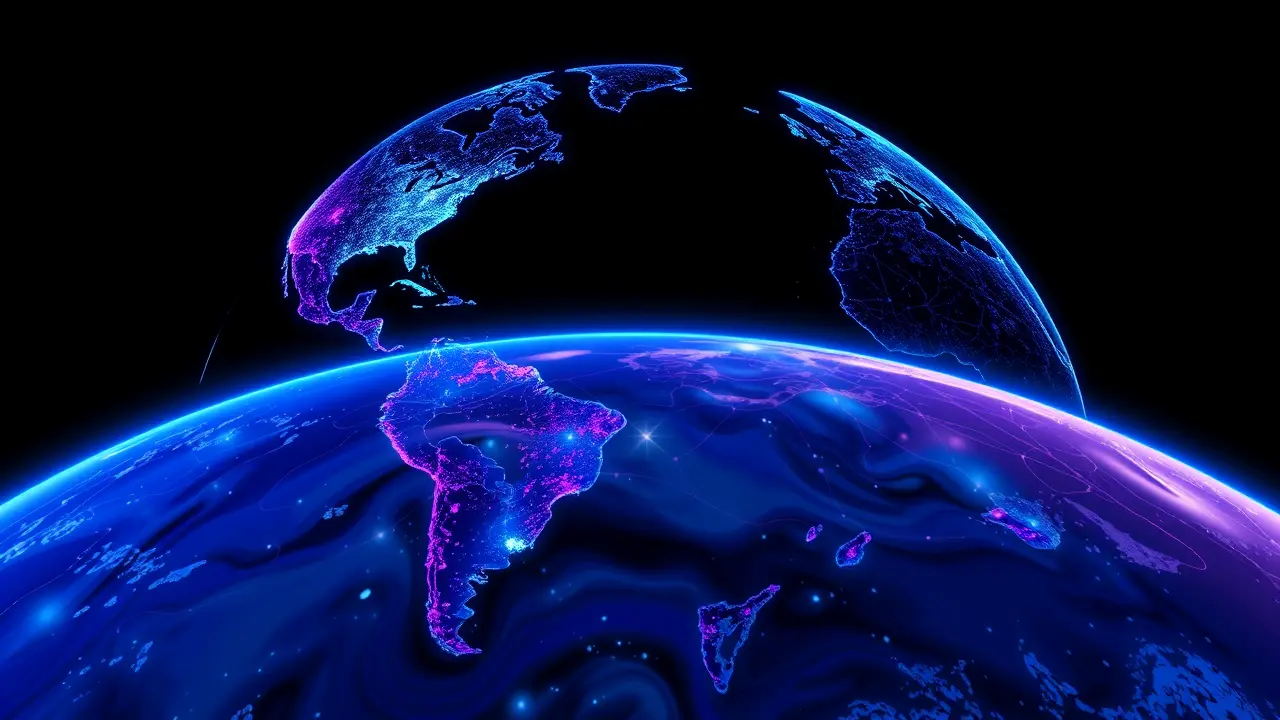
In an ambitious fusion of technology and ecology, the Allen Institute for Artificial Intelligence (AI2) has launched the OlmoEarth Platform, a sophisticated open-source AI system designed to transform satellite imagery, radar readings, and existing geospatial data into actionable intelligence for planetary stewardship. This initiative, emerging from the nonprofit founded by the late Microsoft cofounder Paul Allen, processes a staggering 10 terabytes of data from millions of Earth observations, creating a family of foundation models that can be meticulously fine-tuned for specific environmental tasks.The core of the project addresses a critical bottleneck in conservation: while the potential of AI to analyze our changing planet is immense, its practical deployment has often been stymied by complexity and cost, leaving many government agencies and non-profits—the very groups with the deepest contextual understanding of local ecosystems—unable to harness its power. Patrick Beukema, the lead researcher, articulates this gap, noting that despite the transformative impact of AI in domains like natural language processing, its application to Earth science has lagged, not for a lack of need, but because building these complex models from scratch is prohibitively expensive and technically daunting.The OlmoEarth suite, therefore, is not merely a set of algorithms; it is a democratizing toolset. Its companion software, OlmoEarth Studio, allows experts to train the models by simply uploading human-labeled samples—whether it's a patch of land growing a specific crop in Kenya, a vulnerable mangrove forest in Indonesia, or a region of timber at high risk for wildfire.Once fine-tuned, the platform operates with an intuitive, almost conversational ease; a user can request data on 'mangroves in Indonesia over the last six months' or a 'global inference over the last four years' as effortlessly as scheduling a calendar appointment, with results visualized in the interactive OlmoEarth Viewer. The real-world applications are already demonstrating profound ecological impact.The International Food Policy Research Institute is leveraging the technology to frequently update crop maps in Kenya, enabling more responsive agricultural policy. Amazon Conservation is deploying it for rapid deforestation detection, a crucial capability in the fight against illegal logging.Most compellingly, the Global Mangrove Watch is integrating OlmoEarth to comprehensively track mangrove populations—these coastal trees are not merely flora but vital infrastructures that serve as fish nurseries, colossal carbon sinks, and natural barriers against storm surges and coastal erosion. Lammert Hilarides of Wetlands International, a partner in the project, explains that while their previous machine learning systems were accurate, the process was labor-intensive.OlmoEarth automates the heavy lifting, freeing up precious human resources to focus on the essential work of advocacy and preservation with governments, with the audacious goal of scaling from monitoring half the world's mangroves to all of them by next year. This represents a quantum leap in our ability to conduct near-real-time planetary diagnostics.The technology, built on vision transformer architecture akin to the models behind ChatGPT, represents a state-of-the-art tool provided free of charge, a deliberate choice by AI2 to empower the experts who understand the problems best but lack the means to build the tools. Beukema emphasizes that these users don't need to be AI engineers; they need accessible technology that can accelerate their mission. In a world grappling with interconnected crises of climate change, biodiversity loss, and food security, the OlmoEarth Platform is more than a technical achievement; it is a bridge, connecting the immense, silent data stream from our skies to the grounded, passionate work of conservation on the Earth, offering a tangible hope that we might finally manage to protect the planet by first learning to see it, in all its complex, changing detail, with unprecedented clarity and speed.
#featured
#Paul Allen
#AI2
#OlmoEarth
#satellite imagery
#deforestation
#wildfire risk
#crop mapping
#mangrove monitoring
Stay Informed. Act Smarter.
Get weekly highlights, major headlines, and expert insights — then put your knowledge to work in our live prediction markets.
© 2025 Outpoll Service LTD. All rights reserved.